Pathfinder UAV Services LLC
  • Home
  • Contact Us
  • Aerial & Spatial
    • Construction
    • Data Collection & Insp.
    • Land Lots and Real Estate
    • Marketing
    • Property Management
  • Sentinel
    • Remote Site Monitoring
  • More
    • Home
    • Contact Us
    • Aerial & Spatial
      • Construction
      • Data Collection & Insp.
      • Land Lots and Real Estate
      • Marketing
      • Property Management
    • Sentinel
      • Remote Site Monitoring
  • Home
  • Contact Us
  • Aerial & Spatial
    • Construction
    • Data Collection & Insp.
    • Land Lots and Real Estate
    • Marketing
    • Property Management
  • Sentinel
    • Remote Site Monitoring
https://i.vimeocdn.com/video/1806886576-628583733428f1ba9c69b3fec0edabe11fe9ef0d0e5b16036b9c8ae846f45079-d

About Us


Pathfinder UAV Services LLC provides comprehensive aerial, spatial, media, and site monitoring solutions for construction, infrastructure, and property operations nationwide. 

We specialize in nationwide media and data collection services, delivering consistent, high-quality results across single-site and multi-site projects. Our team operates under full FAA Part 107 certification and is fully insured, ensuring every project is completed safely, compliantly, and professionally.

To better serve our clients, Pathfinder operates through two specialized divisions:
Pathfinder Aerial & Spatial, focused on aerial data, spatial documentation, and professional media; and Pathfinder Sentinel, providing remote site and security monitoring solutions.

Same company. Expanded capabilities. Clearer solutions.

Tell us about your project

What We Can Provide

  • FAA Part 107 operators
  • Insurance coverage 
  • Aerial and ground data collection
  • Asset audits and documentation
  • VDC support for construction
  • 2D ortho maps
  • 3D models
  •  Data collection
  • 360 Camera captures 
  • Professionally edited photos and video
  • Remote site monitoring for asset protection


Our divisions

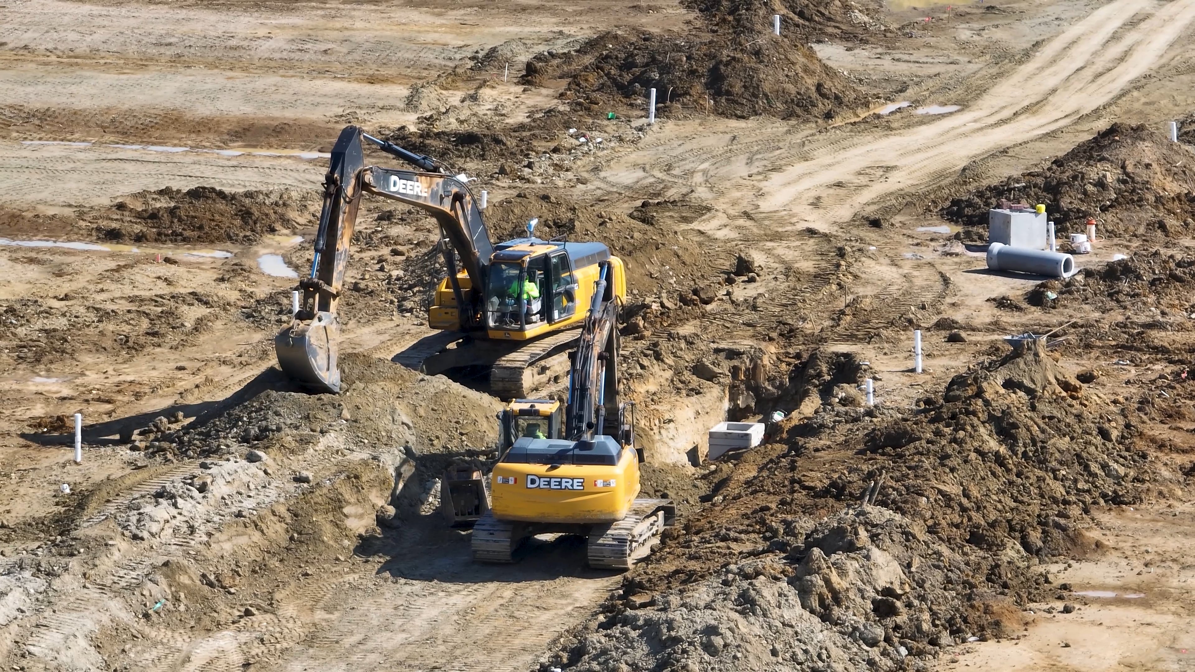
 Pathfinder Aerial & Spatial delivers aerial visual documentation and spatial reference imagery for construction, infrastructure, and property management, focused on progress visibility, asset documentation, and professional media. 


Pathfinder Sentinel provides remote site monitoring and security monitoring solutions for construction sites, developments, and managed properties. We deliver reliable visibility, activity tracking, and documented oversight—helping teams protect assets and stay informed without constant on-site presence.

Chester County Chamber of Commerce Member Since 2022

Pathfinder UAV Services LLC is a proud member of the Chester County Chamber of Commerce.  

 https://www.chesterchamber.com/

Contact Us

This site is protected by reCAPTCHA and the Google Privacy Policy and Terms of Service apply.

Pathfinder UAV Services LLC

(803)335-4400 info@pathfinderuav.com

Copyright © 2022 Pathfinder UAV Services LLC - All Rights Reserved.


 Disclaimer: Pathfinder UAV Services LLC provides non-licensed aerial services, visual documentation, and spatial reference imagery for informational and operational purposes only. Services do not include land surveying, boundary determination, legal measurements, or any work requiring a licensed surveyor or other regulated professional. All deliverables are provided as-is and are not intended for reliance where professional licensure is required. When regulated services are necessary, deliverables may be used only as supporting materials by licensed professionals or client teams. 

Powered by

  • Construction
  • Data Collection & Insp.
  • Land Lots and Real Estate
  • Marketing

This website uses cookies.

We use cookies to analyze website traffic and optimize your website experience. By accepting our use of cookies, your data will be aggregated with all other user data.

DeclineAccept